ADVERTISING
- 4shares
- Facebook1
- Twitter0
- Pinterest0
- LinkedIn3
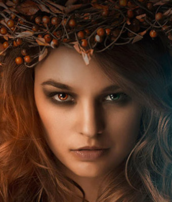
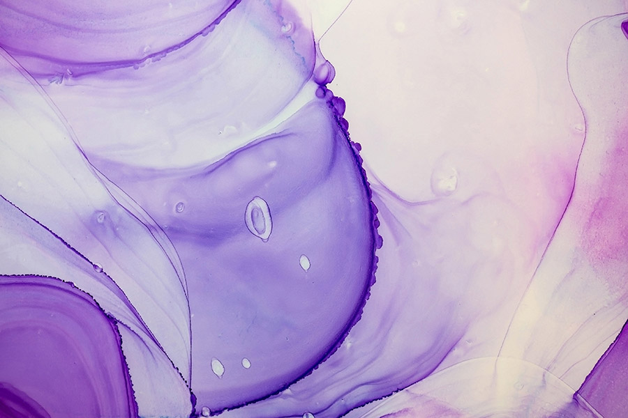
8 beautiful sample images of abstract ink textures from the 290 Alcohol Ink Backgrounds Collection, with both a natural, liquid and a digital look.The delicate and colorful look of these textures make them ideal to be used as overlays on portraits, or as a surreal atmosphere for a location photo.
These backgrounds are compatible with any software that allows you to work with layers. Includes pdf contact-sheet with a preview of all images from the full collection of 290 backgrounds.

ADVERTISING


ADVERTISING


License: You can use these images for personal and commercial work. Do not redistribute as individual files or part of a collection.
Get Download Link
Buy the full 290 Alcohol Ink Backgrounds Collection at 15% Off!
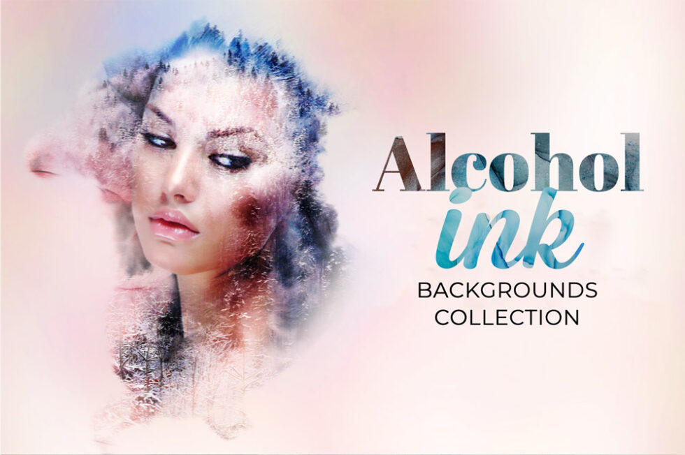
The Alcohol Ink Backgrounds is a beautiful bundle of abstract ink textures, with both a natural, liquid and a digital look.The delicate and colorful look of these textures make them ideal to be used as overlays on portraits, or as a surreal atmosphere for a location photo.
Buy now and get 15% Off using this code at checkout: FRALCOHOL15